
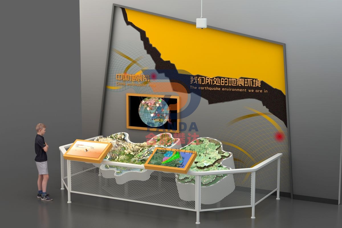
The seismic environment we live in
Safety & Emergency · Interactive
- DimensionsSubject to on-site plan
- PresentationInteractive
- PricingQuoted by manufacture spec
Purpose & Scientific Principle
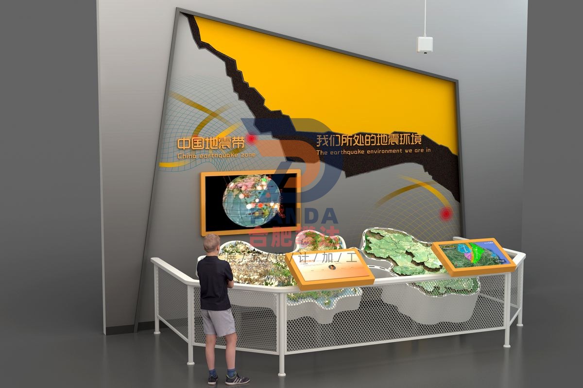
The exhibition allows participants to understand the characteristics of Anhui's geological structure and the seismic zone it is located in through an interactive sand table projection.
How to Operate
This exhibition item consists of sand table models, projectors, touch screens, etc. When no one is interacting, the projection is combined with voice narration to demonstrate the distribution of seismic zones in Anhui, etc. The audience clicked on the touch screen to introduce relevant knowledge of [Yangzhou-Tongling Seismic Zone] [Macheng-Changde Seismic Zone] [Tancheng-Yingkou Seismic Zone] [Xuchang-Huainan Seismic Zone]. The corresponding area on the projection sand table rose up, projecting its geological form picture, outlining the names of cities, counties and related geographical locations that the earthquake zone passes through, and marking the areas that will be affected.
The crustal thickness of Anhui Province is roughly 36 to 42km. It is thicker in the south and thinner in the north. The province spans three tectonic units: the North China Block, the Qinling-Dabie Orogenic Belt and the Yangtze Block. The middle reaches of the Huaihe River in Anhui Province is located on the southern edge of the North China fault block, bounded by the Handuodu-Feixi fault in the south and ending in the Tanlu fault zone in the east. Southwest Anhui is located in the eastern section of the Qinling-Dabie Mountains fault-fold belt. The Anhui Tanlu fault zone and the moving parts of the Jiashan-Xiangshui fault zone are located in the middle section of the Lower Yangtze fault block.
Related Exhibits

Need a quote for this piece or a full exhibit configuration? Tell us your venue area, theme direction, and budget range.